
Yielding Crops of Classification Automatically - eCognition Automates Vegetation Mapping for EU Compliance
Summary:
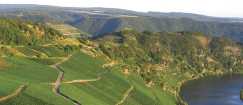
Germany’s RLP AgroScience saw the opportunity to use advanced spatial technology to automate this monumental task in order to help its local authorities meet the EU’s requirements. Using spatial data and technology, RLP AgroScience, together with local authorities, created an operational system that completely automates the process of mapping and classifying vegetation, and quickly produces precise, standardized classification datasets––the root layer of the vegetative features in the LPIS.
Was this article helpful?
0 comments
Your Answer
Articles in this section
- From the Crown Down
- Classifying the Caribbean's Coral
- Returning the Great to the Great Barrier Reef
- Harvesting A Major Vegetation Map
- Answering the Call for 3D City Models
- Just the Citrus Trees Please
- Bringing Relief to Refugees
- Roads Drive Better Understanding of Urban Growth
- Bucking Tradition
- Complex by Nature